Neighbourhoods
TMCL exists with the power & energy of Community Members
All neighbourhoods within the Meadows are named after local flora.
Larkspur
The Larkspur neighbourhood structure plan (NSP), originally adopted by City Council in 1987, is located within the Meadows Area of southeast Edmonton. Larkspur is situated east of the Mill Woods neighbourhoods and south of Whitemud Drive. It is bounded by Whitemud Drive to the north, 17th Street to the east, 38th Avenue to the south, and 34th Street to the west. The neighbourhood began developing in the late 1980s and was still actively under construction in the 2000s.
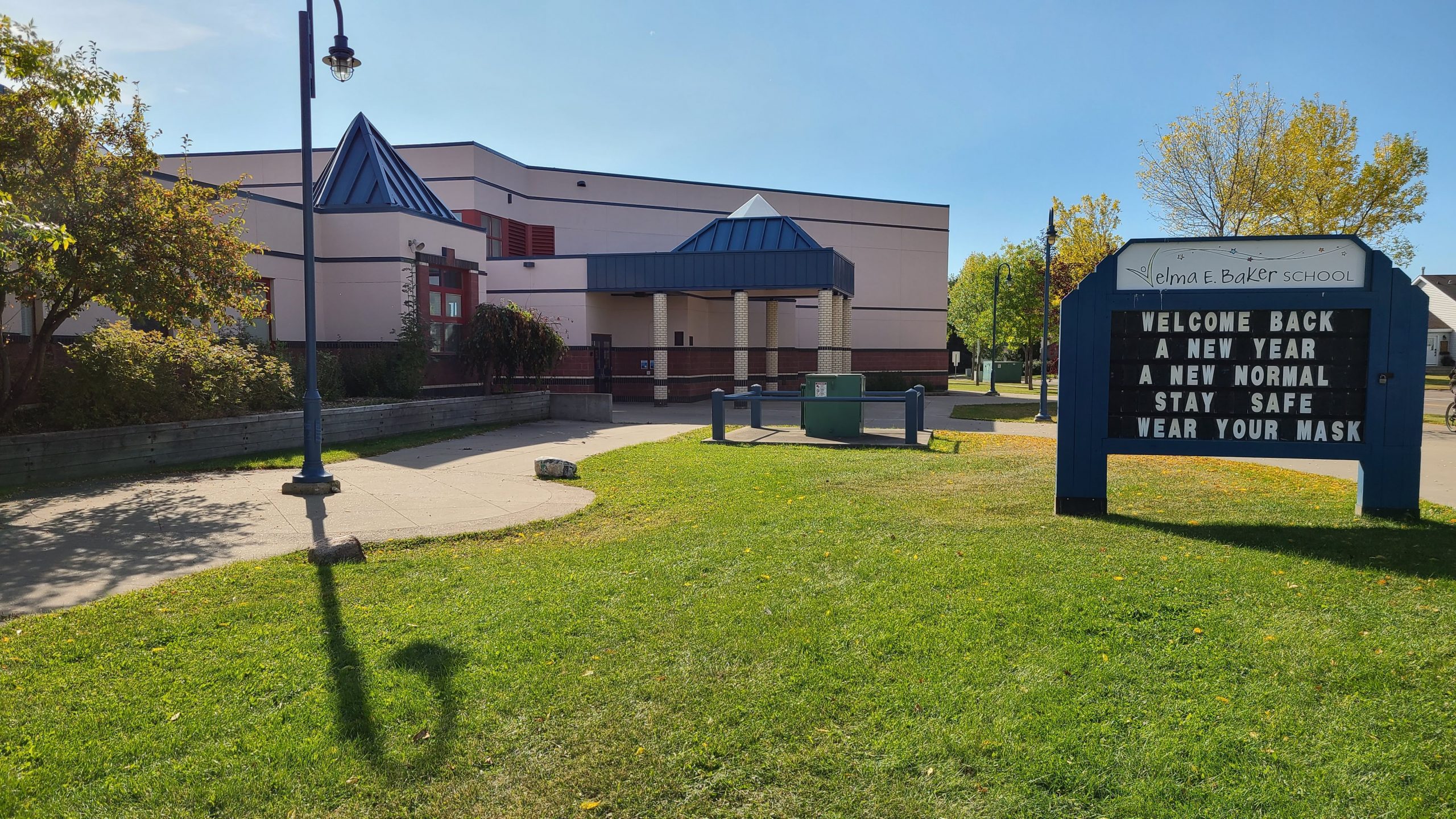
The residential component of the neighbourhood is predominated by single-detached housing, but some multi-family land parcels remain to be developed which will add more diversity to the housing mix once complete. The neighbourhood was designed to provide a range of services and amenities to residents along with a clear, hierarchical, internal road system. A pipeline corridor runs the north-south length of the neighbourhood, which has been transformed into a linear park through Larkspur. A large commercial area is located along 17th Street and fills the southeastern corner of the neighbourhood. Velma E. Baker School and Larkspur Park are located in the centre of the neighbourhood. Surplus school lands located adjacent to these facilities will be
redeveloped as housing for first time home buyers.
Larkspur was named after an ornamental wildflower plant that blooms in many colours.
Silver Berry
The Silver Berry neighbourhood, adjacent to the Bisset neighbourhood in Mill Woods, is located within the Meadows Area Structure Plan (ASP) and defines the west-central portion of the ASP. Mill Creek runs the length of the neighbourhood’s northern border and provides a significant natural asset for Silver Berry residents. In addition to MillCreek, the neighbourhood is bounded by 17th Street to the east, 23rd Avenue to the south, and 34th Street to the west. Prior to urban development, the southern portion of Silver Berry was used for agricultural cultivation and the northern portion of the neighbourhood, adjacent to Mill Creek, was left in its natural state.
Silver Berry features public access to Mill Creek and also incorporates a variety of other parks and open space corridors to provide excellent access to outdoor amenity space for residents. Two utility rights-of-way exist within the neighbourhood, one running east-west and the other running north-south, and both have been landscaped as linear parks.
Silver Berry contains a variety of housing types, including: single and semi-detached homes, row housing and apartments. The neighbourhood plan includes several sites for community level commercial space, which have not yet been built out; in the meantime, however, residents have access to a variety of services, commercial and employment opportunities in adjacent Mill Woods, at South Edmonton Common and at the Edmonton Research Park located west of the neighbourhood along 23rd Avenue. A large school and park site is located in the centre of the neighbourhood, adjacent to a linear park and surrounded by residential land use.
Silver Berry is named after a shrub that bears grayish-white berries.
Wild Rose
The Wild Rose neighbourhood, east of the Kiniski Gardens neighbourhood in Mill Woods, is located within the Meadows Area Structure Plan (ASP) and defines the west-central portion of the ASP. Mill Creek runs the length of the neighbourhood’s southern border and provides a significant natural asset for Wild Rose residents. In addition to Mill Creek, the neighbourhood is bounded by 38th Avenue to the north, 17th Street to the east and 34th Street to the west. Prior to urban development the northern portion of Wild Rose was used for agricultural cultivation and the southern portion of the neighbourhood, adjacent to Mill Creek, was left in its natural state.
Wild Rose features public access to Mill Creek and also incorporates a variety of other parks and open space corridors to provide excellent access to outdoor amenity space for residents. Two utility rights-of-way exist within the neighbourhood, one running diagonally in an east-west direction and the other running north-south, and both have been landscaped as linear parks. A central school and park site houses a public junior high school and provides a large open space within the neighbourhood for active recreation. Wild Rose contains a variety of housing types, including single and semi-detached homes, row housing and apartments. At the time of the 2006 census, however, the neighbourhood was still dominated by single detached homes as the multi-family sites had not yet been constructed. The neighbourhood does not contain any community-level commercial space but residents have good access to a variety of services, commercial and employment opportunities in adjacent Mill Woods, at South Edmonton Common and at the Edmonton Research Park located west of the neighbourhood along 23rd Avenue.
Wild Rose is named for Alberta’s official flower, Rosa acicularis (wild rose), which has been this province’s official flower since the 1930s.


